The recent launch of China’s most advanced geostationary electrical-optical spy satellite, Yaogan-41, presents a devastating blow to national security that is likely to have far-reaching political and societal ramifications.
Capable of constantly observing roughly one-third of the globe with a resolution of 2.5 meters, the satellite can track targets as small as a vehicle and offers the ability for Chinese intelligence services to have unrestricted monitoring capabilities of above-ground targets. While this satellite is positioned above China’s sphere of influence, an identical satellite situated over the Americas would give the Chinese a constant never-wavering eye on the United States, creating intelligence byproducts that would significantly aid espionage operations and its marking of military targets.
Officially, the Chinese have surpassed the United States in this capacity; declassified documents show the United States worked on a similar type of high-resolution spy satellite during the First Cold War, going so far as to design, test and build such geostationary platforms, but according to published accounts, they were never launched. While never discussed or revealed, they were capable of identifying objects with a resolution of mere inches.
Such launches by the Chinese show a profound growth in the country’s ability to advance orbital spying technologies and mechanics. Yaogan-41 is aided by hundreds of other low Earth orbit spy satellites that offer far higher resolutions giving them nearly unfettered access to both military and civilian activities above ground around the world.
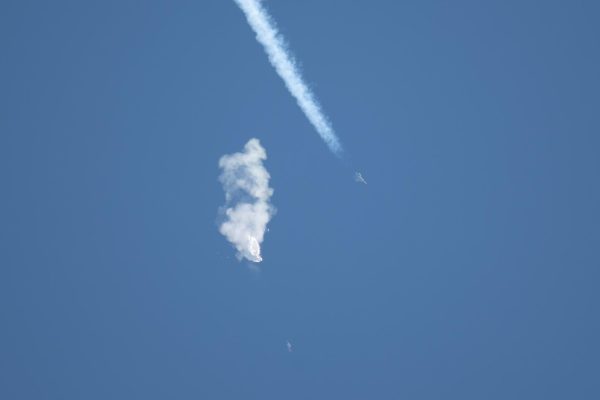
China has spent an unprecedented amount of resources trying to identify, document and breach America’s vast network of underground bunkers and facilities that also officially do not exist, which culminated with the overflight of the Chinese Spy Balloon, which was first seen by the public over Billings, Montana and eventually shot down in Myrtle Beach, South Carolina. The country has spent trillions of dollars, not seen since the First Cold War with the Soviets, building unground installations in an attempt to safeguard and shield their own activities from foreign eyes in the sky.

Like the United States and the Soviet Union, China first developed film-based spy satellites that circled the globe in low Earth orbit, returning buckets of captured film for further processing and analysis. With the Keyhole-11 series of reconnaissance satellites, America pivoted towards electrical-optical space-based sensing platforms that allowed near-real-time access to captured imagery, which occurred by the mid-1970s; the Soviets followed roughly a decade later with Yantar-4KS1. As each country was observing the other halfway around the globe, relay satellites were needed to make the near-instantaneous viewing of captured imagery possible.
The Chinese, however, which became the third country to launch film-based recoverable spy satellites in 1974, didn’t launch a fully electrical-optical platform until the early 2000s, though its later film-based satellites also had lower resolution cameras that offered limited-intelligence real-time reconnaissance.
With the fall of the Soviet Union, Russia has struggled to maintain its prestige in designing, building and launching such reconnaissance satellites, China meanwhile has superseded them, deploying a staggering number of various types of both military and civilian satellites, showcasing their ability to be taken seriously as a near-pear of the United States.
In 2015, China launched Gaofen 4, a geostationary Earth observation satellite. Unlike most spy satellites, which operate in low-Earth orbit, an object in geostationary orbit can stay over the same area indefinitely. At a distance of 22,300 miles, it’s able to obtain a resolution of 50 meters over roughly one-third of Earth, which is enough to track oceanic vessels by observing their wake, essentially allowing the nation to monitor both military and civilian ships in the South China Sea and the greater region with impunity, including for areas as far away as Guam, a United States territory. In 2018, India replicated this achievement with their GSAT-29 communication satellite.
Gaofen 4 was followed in 2020 and 2023 by Gaofen-13 and Gaofen 13-02, respectively, both also geostationary satellites but with an improved resolution of likely around 15 meters. China, through state media, says they are used for land surveys, crop yield estimation, environmental governance, meteorological early warning and forecasting as well as comprehensive disaster prevention and mitigation, though it is well known they primarily serve a military purpose.
Yaogan-41 was launched in December, increasing the obtainable resolution down to roughly 2.5 meters, enough to track vehicle-sized objects, including stealth aircraft. If China deployed at least two other identical satellites around the globe, they could have near ubiquitous coverage of the entire Earth; by utilizing the Tianlian series of communication satellites, they would also be able to have real-time observation from those platforms as they do with their low Earth orbit reconnaissance satellites.
While the biggest benefit of these platforms is during daylight, at least for the visible wavelength, China has showcased a technical capability to construct satellites that create a never-before-revealed ability of constant above-ground Earth observation. Its low Earth orbit reconnaissance satellites have achieved sub-10 centimeter resolutions already and the reality is that China will likely, within the next decade, develop a sub-meter resolution geostationary spy satellite that is capable of providing much more granular intelligence, which will be aided by the development of larger and more powerful rockets. Officially, this is a capability the United States does not presently have deployed.
While the move will have limited military advantages, as the United States has transitioned all of its most important personnel and projects underground for decades, the capability will reck havoc above ground for government and civilian life, essentially ending privacy and further propelling China’s various state intelligence services to becoming on par with its western counterparts in the United States.
Aided by human intelligence along with the tracking of digital devices, like cell phones, both through commercial endeavors and through hacking, Yaogan-41 could identify compromising activities or provide support to targets of interest at all levels, from an elected official having an affair to the patterns of law enforcement patrols to protect those in the drug trade, all of which would aid espionage activities, nearly always done indirectly, as to ensure the compromised individual or benefactor doesn’t know they are being operated by or with a foreign intelligence service.

The James Webb Space Telescope, a deployable infrared platform designed to further the study of astronomy and cosmology, was the first publically recognized satellite to deploy a mirror in space larger than the size of its launch vehicle would allow for a single-piece optic. The Hubble, in comparison, had a 2.4-meter mirror, identical to that of the original KH-11 spy satellites, while Webb’s 18 mirror segments come together to create a 6.5-meter mirror once unfolded, larger than would be possible by any successful rocket launched to date using a single-piece mirror, though SpaceX’s Starship presents the capability to send up into orbit a mirror as large as 8-meters.
It is well known, though classified and not fully acknowledged, that America’s Orion series of satellites, used mostly for signals intelligence, once unfolded in geostationary orbit can reach sizes comparable in length to that of a football field.
The Naval Postgraduate School houses the donated Segmented Mirror Space Telescope, which was developed for the National Reconnaissance Office as a technical demonstrator, featuring 156 actuators per mirror segment as opposed to Webb’s six, which would be necessary due to the conditions required between visible and infrared observance. Decades old when it was donated in 2010, many believe it showcases a highly classified series of geostationary electrical-optical spy satellites that have given the United States a profound advantage over the years.
The existence of such a system would be highly compartmentalized and limited to only the most important use cases, as evidenced during the recent wars in Iraq and Afghanistan where the military resorted to hoovering balloons and loitering drones to survey an area for days, tracking attacks, such as roadside bombs, back to their point of origin.
Such a capability is not all that unlikely, however, as it would explain the perplexing ability to intercept and prevent large-scale attacks on the homeland through a very complex system of advance warning notifications, meant to obscure sources and methods.
While the Soviets had closed cities, for example, the United States created what is sometimes referred to as iceberg towns, open cities featuring classified operations above ground but inconceivably advanced Manhattan Project like operations below the surface. These towns were some of the first to feature advanced monitoring of communications, including, but not limited to, the recording and indefinite storing of phone calls for further analysis, a capability later deployed to the entire United States.

The Chinese’s late advancement in this field, however, also showcases a profound lag in identifying the true extent of America’s underground facilities. As previously reported by Y-City News, the Chinese Spy Balloon was looking to further the country’s knowledge of secure sites below ground. Billings, Montana, for example, the location of its first public sighting, is home to classified underground facilities, of which the balloon was tasked with conducting reconnaissance over, as was the site of Myrtle Beach, South Carolina, where it was shot down by the F-22 Raptor, an outdated American airframe that is still far superior to anything currently operated by China. The United States also has in its arsenal a yet-to-be-revealed craft that is invisible to optical surveillance as well as other means of detection, tasked in part with eliminating deeply buried nuclear resilient bunkers, unable to be intercepted.
For the first time ever this past year, the United States publically released in its annual report to Congress that China ‘maintains a robust and technologically advanced underground facility program to conceal and protect all aspects of its military forces, including command and control, weapons of mass destruction, logistics, and modernized missile, ground, air and naval forces.”
“The PRC has thousands of UGFs and constructs more each year,” the report reads; yet the United States does not acknowledge the existence of any of its unground facilities besides those publically known for decades such as Mount Weather, the relocation site for civilian government.
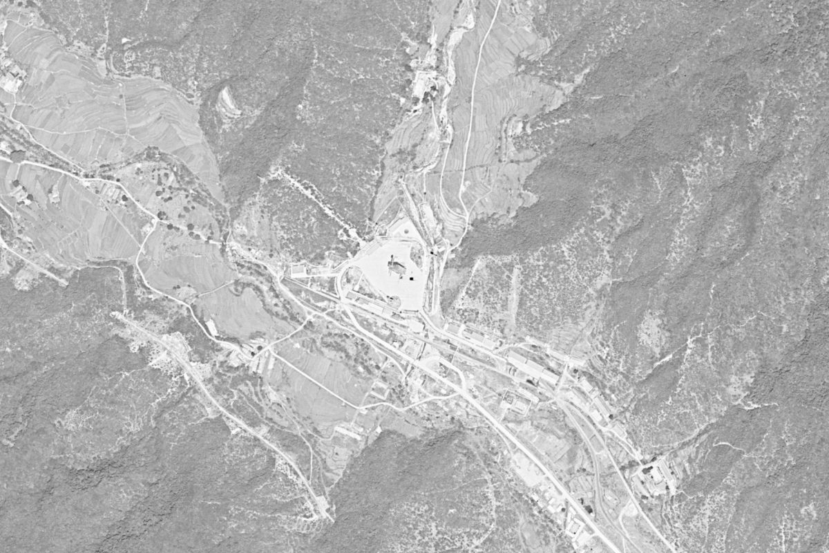
As Y-City News previously reported, the local area is home to deep underground government bunkers, but its importance is even more significant as it is one of only a handful of locations in the Continuous United States not available for KH-9 declassification, imagery taken from space more than 50 years ago, details about what occurs below are some of the country’s most classified and closely held secrets.
Do you have additional information about China’s space-based technology, other information you think our news organizing should know about or want to bring our attention to a matter that needs investigating? We would like to hear from you. Contact us at (740) 562-6252, email us at contact@ycitynews.com or mail us at PO Box 686, Zanesville, Ohio 43701. All sources are kept strictly confidential.

