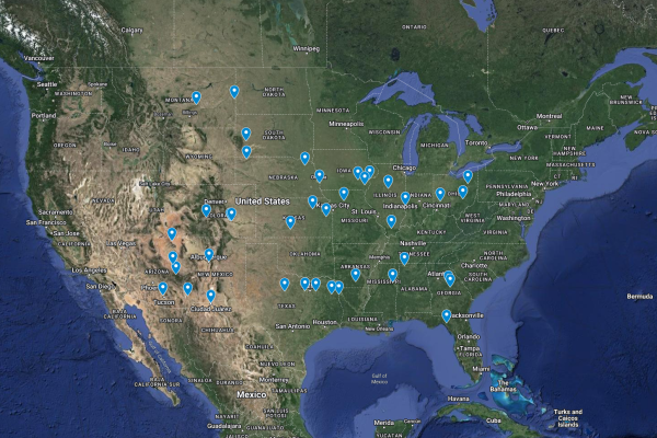
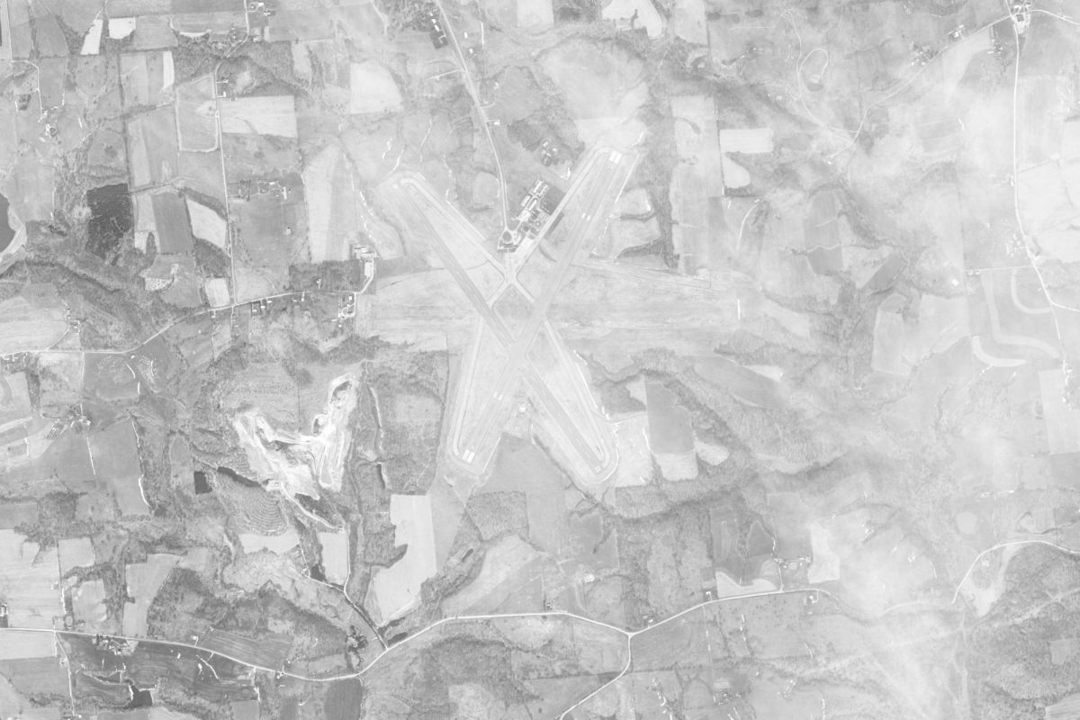
During the 1960s, Zanesville was one of only a few dozen cities across America that was the target of a Top Secret project designed to test the capabilities of our newest spy satellites.
While the list of target towns seems almost random, except for the occasional military installation, such as Wright-Patterson Air Force Base in Dayton or Offutt Air Force Base in Omaha, many of the communities on the list featured covert civilian, military or intelligence community operations.
The program also experimented with the ability to detect both known and unknown military craft in flight, having the pilots be at one of the target towns at the calculated time an imagery satellite would fly over, testing for one of the biggest weaknesses of stealth planes, such as the U-2 or the SR-71, their ability to be visibly seen while often difficult to track by radar or other technical means.

While working to identify and map the few declassified stealth reconnaissance flights across the Continental United States, ideally hoping to obtain a U-2 photo of Zanesville, we discovered a once Top Secret file in the Central Intelligence Agency’s (CIA) declassified archives that featured Zanesville in the listing of ‘corn target coverage’ for multiple missions that still remain classified and provide no further details or explanation.
At first, we assumed it was a test to determine crop yields in the United States with known returns, as the area has in the past and continues to grow lots of corn, likely to prepare analysts for foreign observations and reporting, what we discovered, however, was that many of the other towns listed don’t grow corn crops and others, like those in the dessert, didn’t have any crops at all. Meanwhile, multiple of the towns featured over the three identified documents for corn target coverage were known by Y-City News to feature other clandestine or Top Secret projects.
Akron, Ohio, for example, has a deep underground bunker beneath it and multiple above-ground ‘soft targets,’ for which due to national security concerns our publication is not identifying.
Other towns listed featured civilian airports that once had secret operations, such as covert flights or transports, and others yet were sites of various intelligence community operations.
According to Lloyd Spanberger’s book, Our Mission Revealed, CORN stands for Controlled Range Network; it consisted of a network of fixed and portable resolution targets.
“The portable targets would be deployed for a brief moment, as the satellites passed overhead,” Spanberger wrote. “They would then be dismantled or gathered up. Our satellites were the only ones that would ever see them.”
Spanberger goes on to detail that CORN targets were also painted on the top of the wings of certain aircraft, such as the Boeing B-47 Stratojet and the Martin/General Dynamics RB-57F Canberra.
Other accounts and limited declassified files show that the B-47 was sometimes covertly referred to as a Blackbird, indicating that the Lockheed SR-71 Blackbird was tested against the satellite’s optics but call-signed as a known aircraft to conceal the testing that was ongoing. These aircraft were primarily stationed and flown out of Wright Patterson Air Force Base.
What those targets were or where they were placed have not yet been declassified and while many of the details about the early spy satellites have been revealed to the public, there are yet other details that have been withheld, identified by Y-City News; Zanesville is one of only a handful of towns in the United States where early satellite imagery of it has not been fully declassified, the government refuses to provide an official reason why.

